White House Mapathon

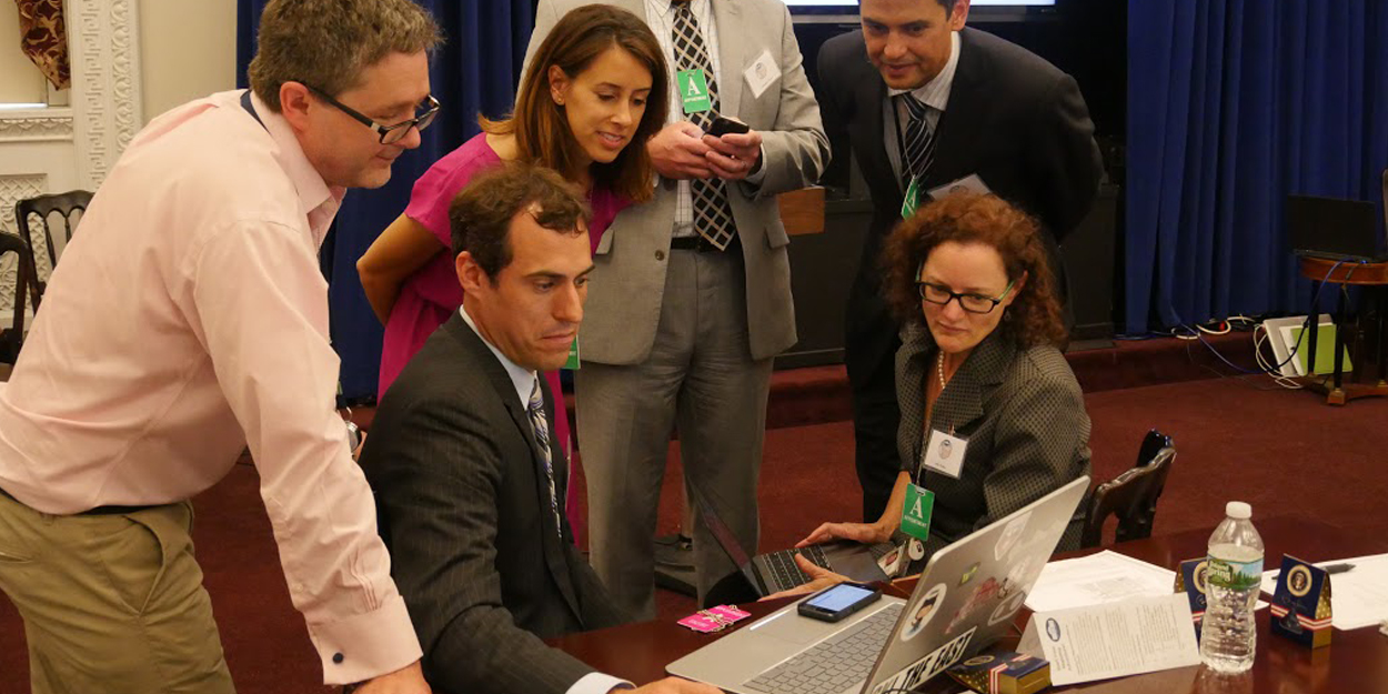
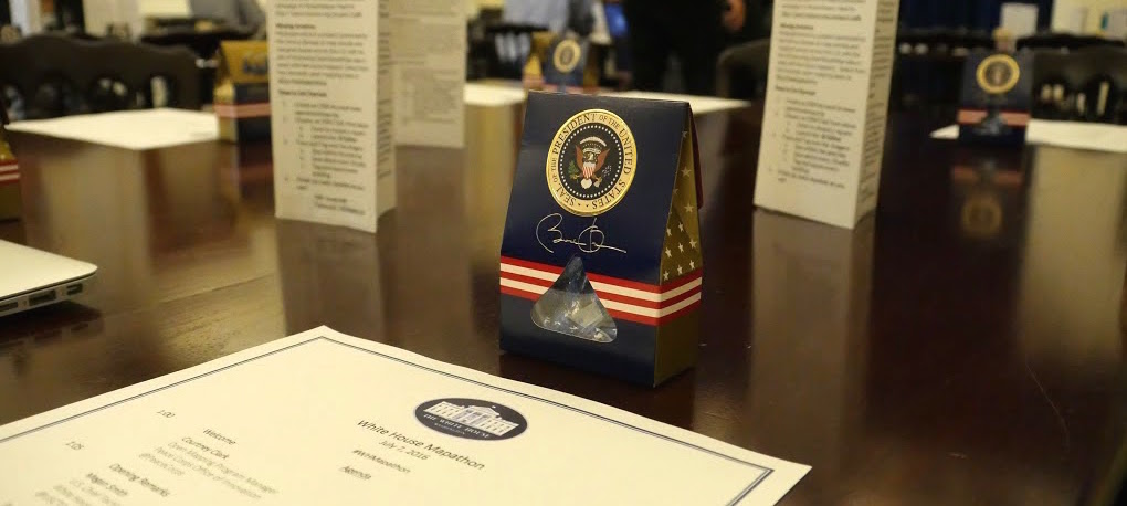
The White House Mapathon was held earlier this month at, you guessed it, the White House. Open mapping is a collaborative effort that encourages citizens to contribute to the improvement of mapping particular areas like developing countries where humanitarian organizations are trying to meet the needs of defenseless communities. Celebrating and inspiring citizen mappers to partake in this initiative, more than 140 participants showed up for the event. And they made 137,000+ edits before it was finished.
 This year’s theme focused on illuminating open mapping for the Sustainable Development Goals, a United Nations initiative. Nine U.S. colleges and universities represented the GeoCenter’s YouthMappers program, in addition to five international academic institutions. Students participated in the event by demonstrating and teaching open mapping to new mappers.
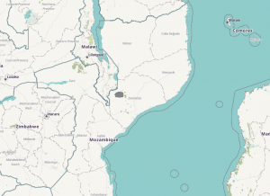
FCG’s Chad B. led the Mapathon charge. Highlighting the USAID Global Development Lab’s GeoCenter work, mapping at this event supported the President’s Malaria Initiative programs in Mozambique. Chad was praised for his contributions by Admiral Timothy Ziemer, the U.S. Global Malaria Coordinator for the President’s Malaria Initiative, Harry Bader, the Deputy Director for the Global Development Lab, and Ann Mei Chang, the Executive Director of the Lab.
 A program that is saving lives and improving communities, Chad demonstrated how innovation, creativity, and the use of existing open mapping tools, like OpenStreetMap, can be applied to malaria prevention and control. Malaria prevention and control remains a major U.S. foreign assistance objective, a vision that includes ending preventable child and maternal deaths and extreme poverty. Thanks to support from Peace Corps and YouthMappers, for the first time in the Zambezia Province in northern Mozambique, detailed maps are being used to advance the effectiveness of indoor residual spraying.
Are you an aspiring citizen mapper interested in contributing to this effort?
Learn How to Map and Get Started!
