Project Profile: USAID
Here at Freedom Consulting Group, we bring top-notch talent to a variety of different information technology fields. In the “Project Profile” series, we’ll highlight some of the projects you work so hard on to help succeed.
The Project: United States Agency for International Development (USAID)
In a Nutshell: FCG provides GIS and data analytics support to the United States Agency for International Development (USAID), whose primary mission is to end global poverty and enable resilient, democratic societies worldwide.
FCG leads USAID’s GeoCenter team, which is part of the larger U.S. Global Development Lab, USAID’s innovation and technology center.
The GeoCenter’s goal is to improve the effectiveness of USAID programs by geographically prioritizing resources to maximize their impact. To do this, the team focuses on three types of activities: Mapping, Analysis, and Visualization; Managing and Sharing Data; and Training and Capacity Building.
Why We Do What We Do: “It’s easy to get excited about USAID’s mission,” said Brian B, GeoCenter Program Manager and three-year FCG employee. “At the end of the day, you know that if you do good work, the beneficiaries will be the world’s most poor and marginalized individuals. That in and of itself helps me get out of bed in the morning.”
By the Numbers:
10: The number of FCG employees on the GeoCenter contract.
5: The number of international trips conducted in the first three months of 2016.
22: The number of countries regularly supported by the team through its GIS Specialist network.
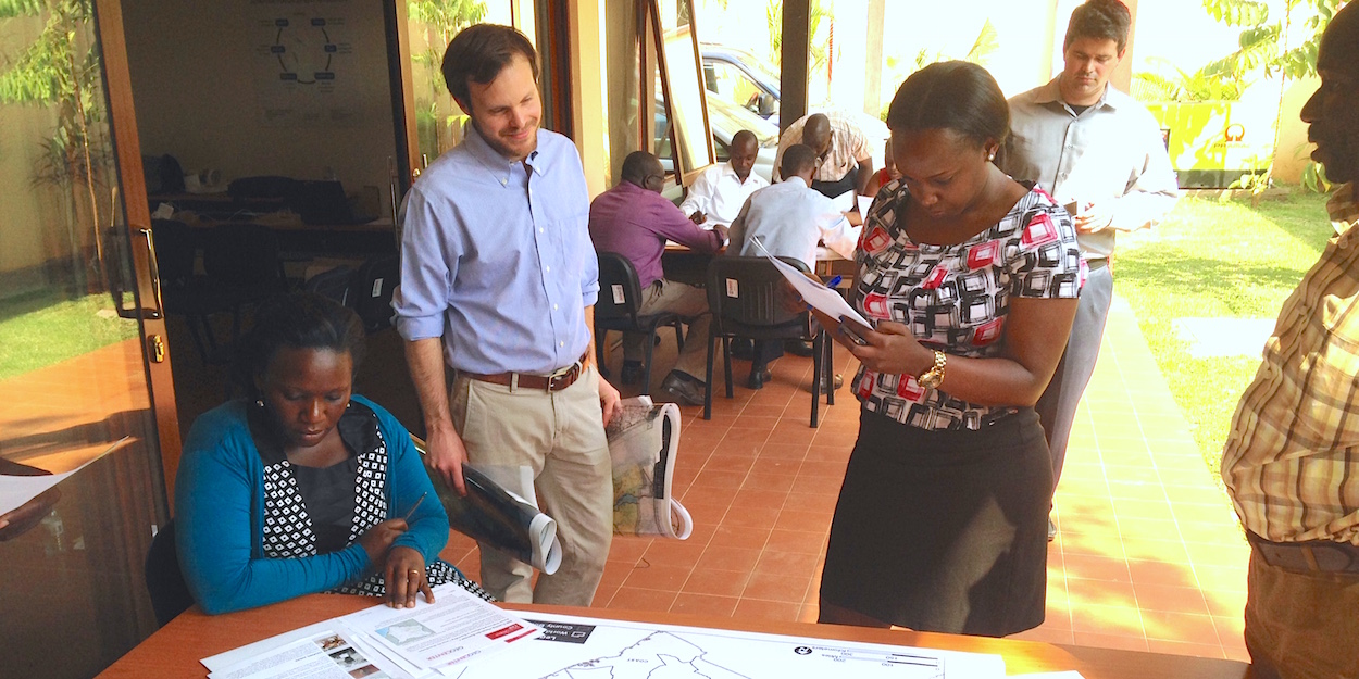
From the Trenches: “In the first few years of the GeoCenter, I worked closely with USAID/Indonesia to build the Mission’s GIS capacity,” FCG’s Patrick G said. “At this point, we were still new to the Agency, learning every second, and getting into situations that we’d never experienced before. But it was also at the time that we were starting to feel more confident in effectively communicating the value of our work, starting to gain traction around the Agency, and creating new opportunities to go further than we may have expected. I associate the trips I took to Indonesia and the support I provided remotely with this special time in the GeoCenter’s journey at USAID. We still benefit today from the personal relationships that we built with the Mission back then.”
The Technology: The FCG team at USAID uses the Amazon Web Service (AWS) platform to host servers and data that are accessed by its clients across the globe. Since AWS has servers and storage located around the world, it’s the perfect solution to provide GIS resources to its clients in some of the most remote areas, including Africa and South America.